
Chagrin Falls Regional Transportation Study
LOCATION: Chagrin Falls, OH
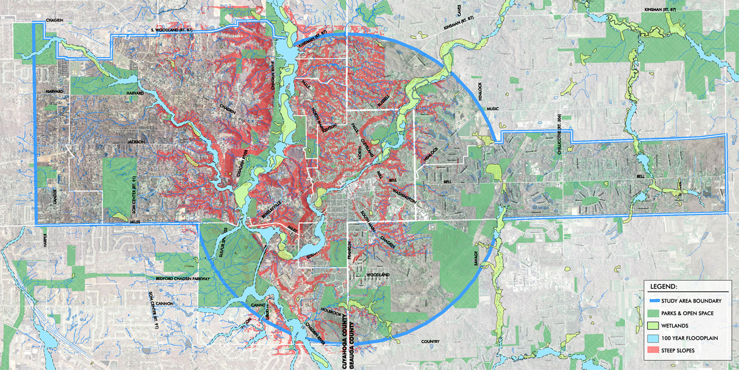
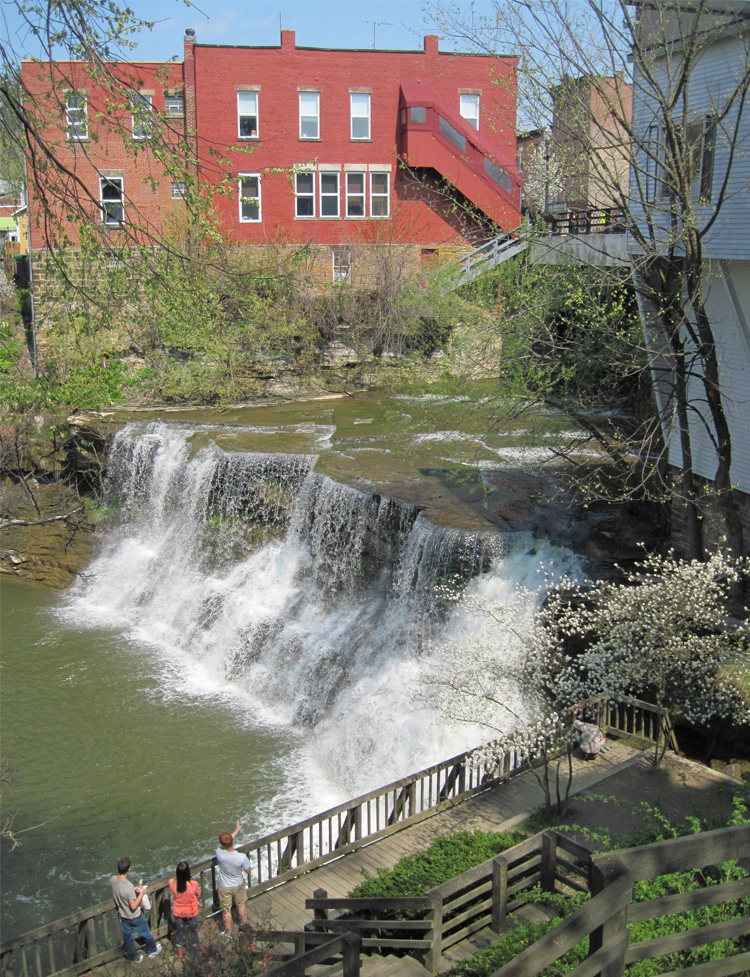
The Village of Chagrin Falls and the surrounding municipalities possess many local and regional amenities that attract long-term residents and over 12,500 regional, national, and international tourists annually. However, the existing infrastructure does not serve non-motorized users well.
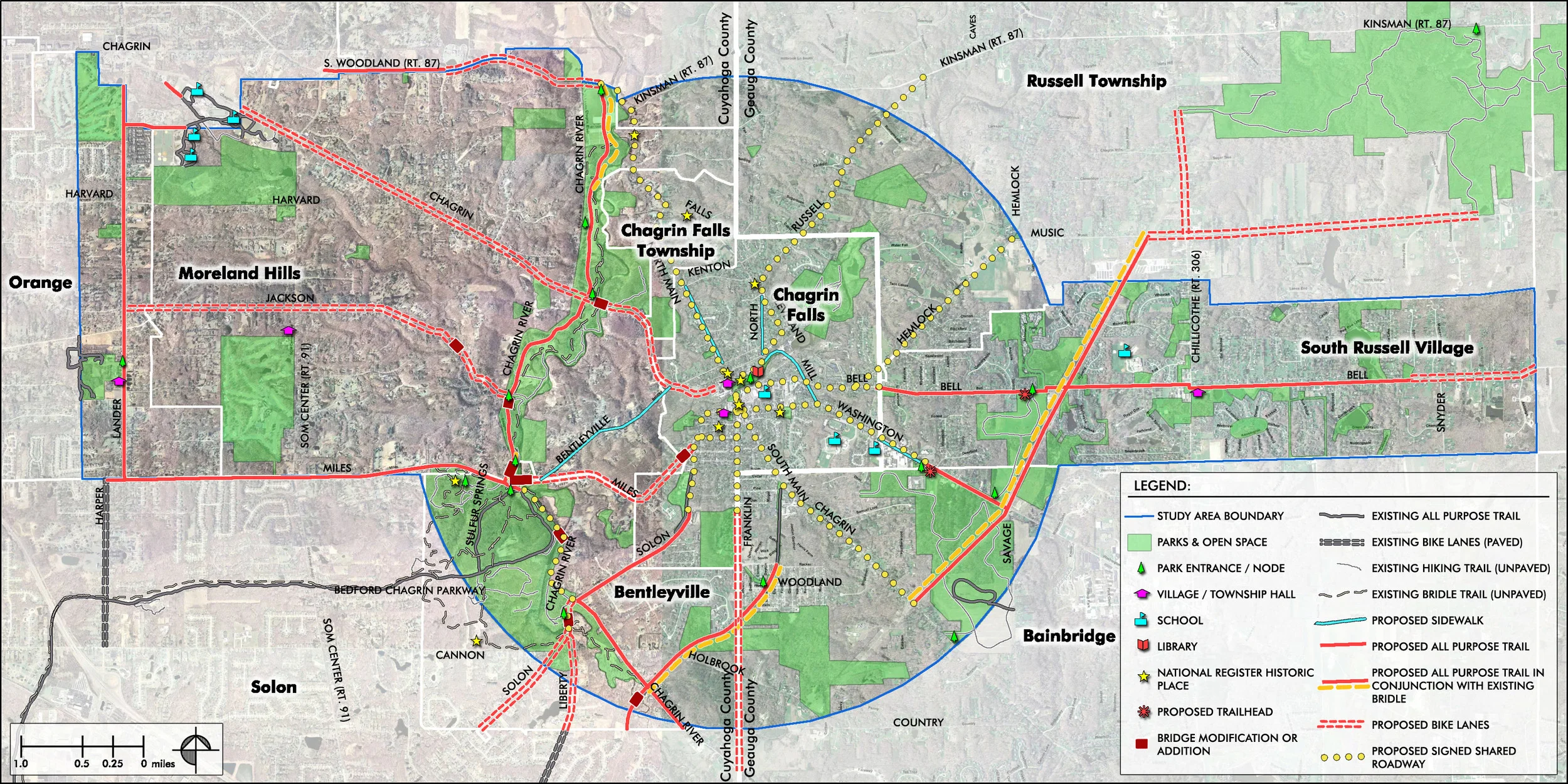
Funded through a NOACA TLCI (Northeast Ohio Areawide Coordinating Agency Transportation for Livable Community Initiative) grant, Behnke developed a long-range vision for the 21 square mile study area that will enhance the community’s quality of life and promote safety using a network of non-motorized routes, bike lanes, and all-purpose trails, connecting key local and regional resources.
The Chagrin Falls Alternative Transportation Study Report concluded with a comprehensive menu of recommendations:
• Prioritized pedestrian and bicycle facility development, categorized by end-user skill level and municipality,
• Trailhead, bicycle parking, and bike station locations,
• Signage, pavement marking, and drainage structure grate improvements,
• Motorist and non-motorist education, legislation, and law enforcement,
• Traffic calming measures,
• Non-motorized transportation promotional events,
• Historic site and natural feature educational circuit,
• Maintenance and operation planning, and
• Funding sources and implementation strategies.